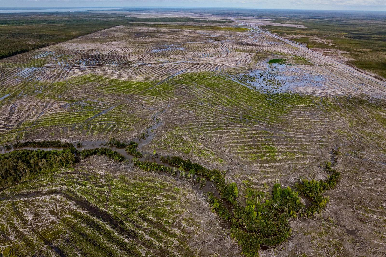
Mappi Regency recorded the highest number of hotspots, with 1,007, followed by Merauke with 217, Asmat with 75, and Boven Digoel with 11. The high number of hotspots indicates the peat swamp landscapes of South Papua are facing increasing pressure amid the accelerated development of the region.
These findings signal that development across the swamp landscapes of South Papua must be evaluated not only in terms of production outcomes, but also in terms of its ability to maintain the ecological functions of the landscape. Peat swamps cannot be regarded as vacant land available for conversion in the name of development. When the hydrological and ecological functions of swamps are overlooked, the social, economic, and environmental costs incurred by local communities are likely to far exceed the short-term benefits being promised.
Putra Saptian, Campaign Officer at Pantau Gambut, stated, “If swamps and peat forests must be sacrificed for the sake of development, then the question that must be answered is: Who is this development really meant for?”
Development success has typically been assessed through through indicators such as the expansion of cultivation areas and increased food production targets. However, these indicators do not demonstrate whether development has also succeeded in maintaining the hydrological functions of swamps, preventing ecological disasters, and protecting communities that depend on these ecosystems.
This situation is becoming increasingly concerning as it coincides with the growing risk of the dry season associated with the El Niño phenomenon. Although El Niño is not the primary cause of forest and land fires, it intensifies their impacts once landscapes have lost their natural water-retention capacity as a result of land cover change. Under such conditions, any acceleration of development should be preceded by rigorous ecological and hydrological risk assessments.
Putra emphasized, “South Papua does not need development that creates new crises. Ecological and hydrological risk assessments must become a requirement before swamp areas are opened for development. Otherwise, forest and land fires, environmental degradation, and the loss of Indigenous Peoples’ living space will only continue to recur.”
Note to Readers
This press release is based on Pantau Gambut’s analysis of hotspot data within the National Strategic Project (PSN) area in South Papua for the period of January-June 2026, alongside findings from the report A Decade of Peatland Restoration in Indonesia, which assesses peatland governance over the last decade. The study concludes that a technocratic approach based on Peatland Rewetting Infrastructure (PRI) has not fully addressed peatland degradation arising from economic pressures and land-use change. The full report is available at the following link.