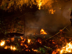
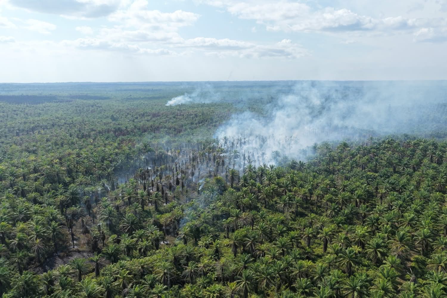
Although the trend in forest and land fire threats remains fluctuating, conditions on the ground indicate the threat has not yet fully subsided. Between 1-14 September 2026, Pantau Gambut recorded a total of 139,378 hotspots across various region of Indonesia.
Hotspots were predominantly concentrated in Kalimantan, with Central Kalimantan and West Kalimantan together accounted for 78% of the national total. Strikingly, the majority of hotspots were detected within Peat Ecosystem Protection Function which accounted for 57% of all recorded hotspots, areas that should be strictly protected from disturbance. Hotspot activity was also concentrated in the former Food Estate project areas in Central Kalimantan, as well as in land-clearing areas associated with the National Strategic Project (NSP) in South Papua.
Land-clearing activities within corporate concession areas (Right to Cultivate/HGU for plantation and Forest Utilization Business Licenses/PBPH concession for forestry) have also contributed to the recurrence of these fires. Without firm law enforcement and consistent ecosystem protection, peatland fires will continue to pose an annual threat to climate stability and the livelihoods of communities.
Key figures and findings:
139,378 hotspots were detected nationwide between 1-14 September 2026, averaging 9,955 hotspots per day.
Central Kalimantan recorded the highest number of hotspots, with 77,311 hotspots (55%), followed by West Kalimantan with 31,595 hotspots (23%). Together, the two provinces accounted for 78% of all hotspots nationwide.
40.1% of hotspots in Central Kalimantan (31,022 hotspots) were concentrated in former Food Estate areas (the highest concentration found in Block C).
90.9% of hotspots in South Papua (4,432 hotspots) were located within areas designated for land acquisition under Minister of Forestry Decree No. 591/2025.
In the forestry sector (Forest Utilization Business Licenses concession/PBPH), the highest number of hotspots was recorded within the concession of PT Mohairson Pawan Khatulistiwa, with 3,126 hotspots. In the plantation sector (Right to Cultivate/HGU), the highest number was recorded at PT Central Sejahtera Sukses, with 2,179 hotspots.