By Pantau Gambut
from www.pantaugambut.id
The government and companies have made commitments for sustainable peat management to protect the peat ecosystems. Both parties are jointly responsible for restoring the peatland ecosystem which is increasingly degraded.

However, what about the implementation process? How can we prevent continuous violations by companies holding concession licenses? Indications of violations are still detected through satellite imagery as previously described.

To answer the questions around peat protection activities in the concession areas, Pantau Gambut conducted a field study in collaboration with local communities in 7 provinces (Jambi, South Sumatra, Riau, Central Kalimantan, West Kalimantan, Papua, and West Papua).  

Pantau Gambut chose to visit some companies based on indications of violations in the company's work area, including indications of repeated fires during the 2015-2019 period and indications of loss of land cover (tree cover loss) in peat conservation area within the concession areas. 

Pantau Gambut also tried to find additional information on company violations. In selecting the sites, we also considered information on field conflicts from Simpul Jaringan Pantau Gambut and the surrounding community. 

Pantau Gambut observed three parameters, i.e. efforts to restore peat damage in concession areas, implementation of peat wetting in burned areas, land cultivation, and tree cover loss in peat conservation areas.

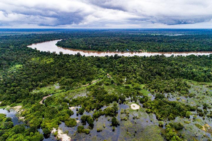
We used random sampling and spatial clustering methods to collect samples in each company. This method was selected based on the data characteristics of the burned and cleared peat areas, which are homogeneous but massive. 

We selected more sample points in locations with large burned or cleared areas than in locations with small burned or cleared areas, so it could be assumed that the samples represented the actual conditions in the field. 

After the field verification, we conducted Focus Group Discussions with local governments in each province to gain insights on our findings from the field. 

To prevent forest and land fires, Chief Commissioner Kurniadi, Head of Sub-Directorate 3 of the Directorate of Specific Crimes of the National Police Criminal Investigation Unit, revealed that since 2019-2021 the Police have carried out mitigation activities, including disseminating information, building monitoring towers, canals, reservoirs, monitoring hotspots, and other innovations.

“But in law enforcement, the constraint is in determining the hotspots in peat areas. We have encouraged innovations, such as the CCTV monitoring system created by the Jambi Regional Police. We also encourage the innovation of better and more effective monitoring systems. Businesses are also encouraged to make these innovations," said the Chief Commissioner during a virtual discussion with Tempo on Friday (28 May).*

*THIS ARTICLE WAS PREVIOUSLY PUBLISHED ON 4 JUNE 2021 ON ONLINE MEDIA TEMPO.CO

Support Us

Share this information with your family and friends.