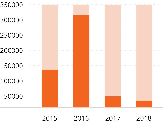
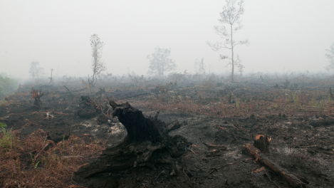
Carbon emission and threats to biomass
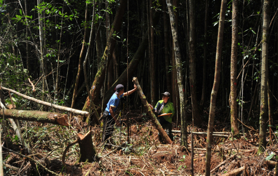
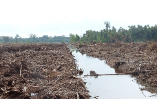
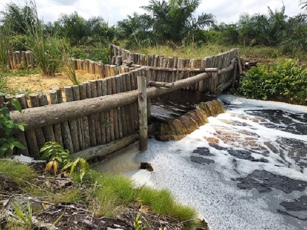
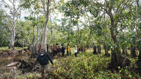
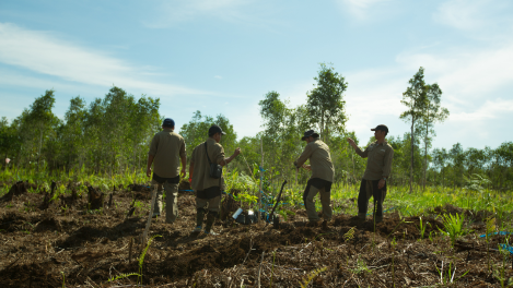
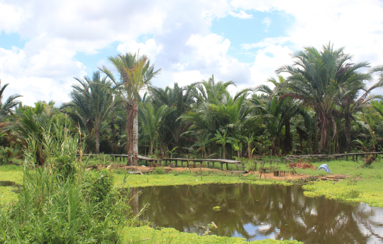
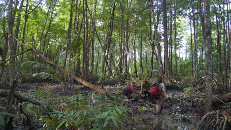
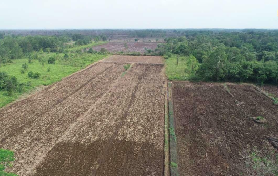
The conversion of peatlands into monoculture plantations of dryland tree species, such as oil palm and acacia, results in the release of carbon emissions and reduced biomass.
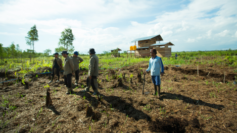
Between 1985 and 2000, as much as 20 percent of peat forest trees were cut down for the conversion of industrial oil palm plantations. Each year, the average conversion rate is 1.3 percent of the total peatland areas, or 47,932 square kilometers. This area is equal to the size of 6,190 soccer fields.
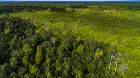
Over the past 18 years, the draining of peatlands has resulted in an average of 632 Mt CO2 being released into the atmosphere every year. This amount is equivalent to burning 71,115 liters of gasoline.
 Threats
 Overview
 Potential