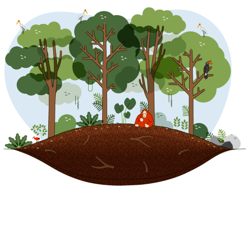
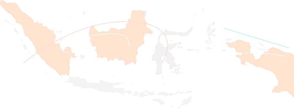
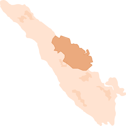
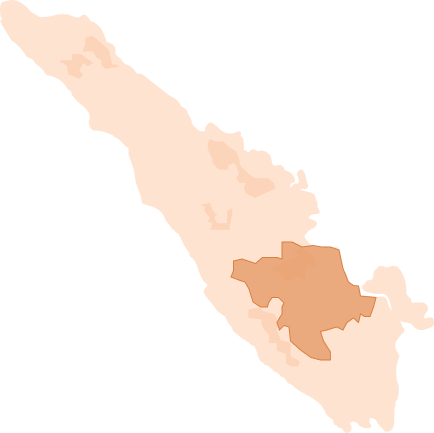
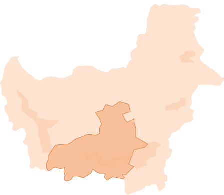
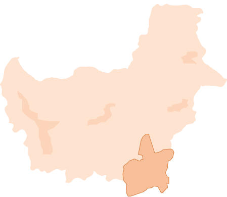
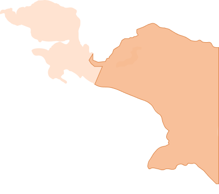
Peatlands on the map

As the proverb goes, what you don’t know, you won’t love.  Now, let’s get to know peatlands. Where are the peatlands of Indonesia? How big and how deep are peatlands in various provinces in Indonesia? What is the Peat Ecosystem Function (FEG) and how does it relate to conservation activities? 

This menu will outline the answers to these questions. Let’s dive in.

Hero image chapter 1

Where are Indonesia’s peatlands?

Peatlands are spread across various islands in Indonesia, especially in the three main islands of Sumatra, Kalimantan and Papua.

Total areas of peatlands

Area 13,400,000 Ha
A decrease of 1.5 million Ha compared to 2011
peta indonesia

Peatlands in Sumatra

Peatlands in Sumatra are generally distributed across the lowlands along the east coast, namely (by successive order from largest to smallest) in the provinces of Riau, South Sumatra, Jambi, North Sumatra, and Lampung, as well as in the narrow plains of the coast of Sumatra, including Pesisir Selatan District (Rawa Lunang), Agam and Pasaman, and in Muko-Muko (Bengkulu). 

Peatlands in Riau

This province has experienced a significant land cover change and land use in the last decade. One of the causes is deliberate land clearing using fire to convert the peatlands to monoculture plantations such as for oil palm, acacia, and others. 

There were massive fires that occurred in this province in 1997 and 2015. The impact of the fire and the smokes even caused disruption in international flights.

Riau

Riau

Total area

3,565,502.56 Ha

Peatlands in South Sumatra

Since the Srivijaya empire, the South Sumatran people had resided on peatlands. 

This is proven by the presence of historical sites in those areas. The people even have the biggest commodity center, OKI Purun Institute,  that transforms purun, a peatland endemic plant, to crafts. 

South Sumatra

South Sumatra

Total area

1,063,092.64 Ha

Peatlands in Aceh

The Tripa-Babahrot peat ecosystem is the largest conservation area in Aceh. It is an inundated area where various types of fish and shellfish (lokan) can be found, which are also the source of the community’s livelihood.

Aceh

Aceh

Total area

150,263.26 Ha

Peatlands in Kalimantan

Peatlands in Kalimantan are predominantly located on the hinterlands, precisely in the swamp areas upstream of the Kapuas River around Putussibau.

Peatlands in Kalimantan are distributed across the lowlands of Central Kalimantan, and on the highlands along the western part of the island of Borneo in the Lake Sentarum region, Kapuas Hulu, West Kalimantan.

Central Kalimantan

Peatlands in this area are the subject of massive land conversion. They are being transformed to paddy fields under the Peatland Development Project (PLG) to be used as a food estate.

Read in-depth articles related to the food estate policy on the Pantau Food Estate page. 

Central Kalimantan

Central Kalimantan

Total area

2.550.439,57 Ha

South Kalimantan

Long before any government intervention in the region, the people of Kalimantan have adhered to their own local wisdom for managing peatlands in a more sustainable manner. The Banjar tribe in South Kalimantan, for instance, have lived on peatlands for generations. They survived on farming without destroying the peatlands, implementing handil, a system of secondary canals that ran all the way into the river. Handil is used to channel water to the lands for farming.

Honoring peatlands is part of the local wisdom in Kalimantan, and the island itself is home to two peat conservation areas: the Sebangau National Park and Palung National Park.

South Kalimantan

South Kalimantan

Total area

46,293.60 Ha

Peatlands in Papua

Most of the peatlands in Papua are still pristine, with little to no peat damage and no trace of forest fires. 

The Papuan people refer to peat as hoom. When farming, local communities plant peat-friendly plants, cultivating crops without needing to drain the peat, a practice also known as paludiculture. People plant sago as a staple food.

Papua

Papuan peatlands lie in the southern coastal swamp bordering the Bintuni Bay, Fakfak. Peatlands can also be found on the coastal swamp plain to the northeast of Nabire

In addition, peatlands are found on the hinterlands of the Mamberamo River valley intersecting three districts: Jayapura, Jayawijaya and Paniai

Papua

Papua

Area

2,222,820.14 Ha

Peat depth in Indonesia

The peatlands in Indonesia varies in depths, there are shallow peatlands and there are peatlands, whose depth reaches more than 700 cm.

The deeper the peat, the more carbon elements it contains. If the peat is drained, more carbon emissions will be released into the atmosphere.

Peatlands by depth

Shallow peat 50 - <100 cm
Medium peat 100 - <200 cm
Deep peat 200 - <300 cm
Very deep peat 300 - <500 cm
Extremely deep peat 300 - <500 cm

Protected Peat Ecosystem Functions (FEG)

Protected Peat Ecosystem Functions (FEG): Peat areas with a depth of more than three meters. These areas serve to protect and maintain the balance of water systems, store carbon, and preserve biodiversity.  Under the regulations, these areas must be preserved accordingly.  

Cultivated Peat Ecosystem Functions (PEF): Shallow peat areas with a depth of less than three meters. Theser areas serve to support the productivity of the peat ecosystem through cultivation activities with proper regard to carrying capacity.

Visit the Peat 101 page from the website menu for in-depth information on this topic.

Total peatland areas by function

Total peatland ecological function (FEG) area 24,1 million Ha
Protected peat 12,07 million Ha
Conservation peat 12,08 million Ha
KHLK, 2015